A sequence of research articles tracing the history, design, standards, and field documentation behind the FHWA Series Standard Alphabets.
01
Did Theodore Forbes design the Standard Alphabet?
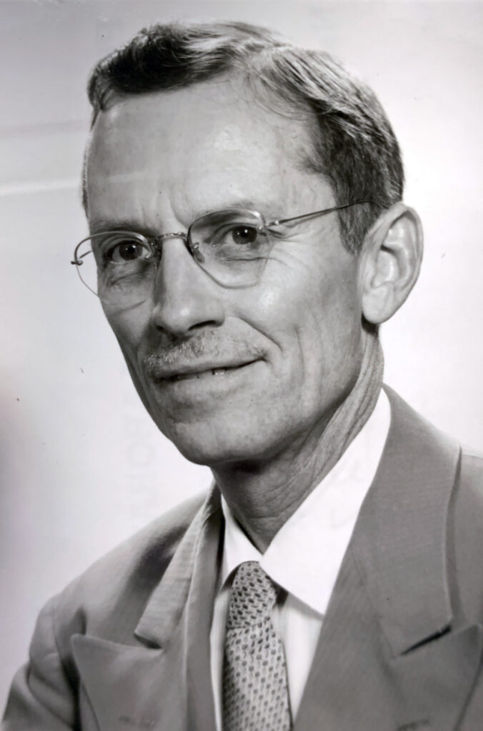
It is widely speculated that transportation psychologist Dr. Theodore Watson Forbes designed the Standard Alphabet. This has not been definitively established, and the actual designer of the letter forms is not known. Forbes is often credited as he led a study in the summer of 1950 into the combination of upper and lower case letters […]
02
Building a National Standard
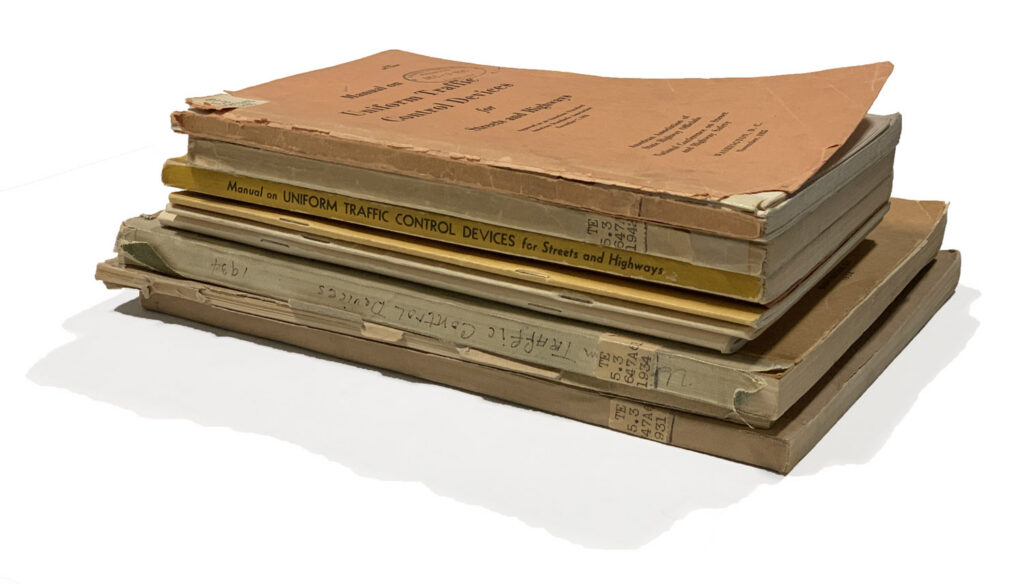
The Manual on Uniform Traffic Control Devices (MUTCD) establishes the national legal standards for signs, signals, and markings to ensure consistency across all public and private roadways. By standardizing the design and placement of these devices, the manual enhances safety and mobility for all users while reducing manufacturing and maintenance costs. Adherence to these guidelines […]
03
The Pennsylvania Turnpike: America’s First Superhighway
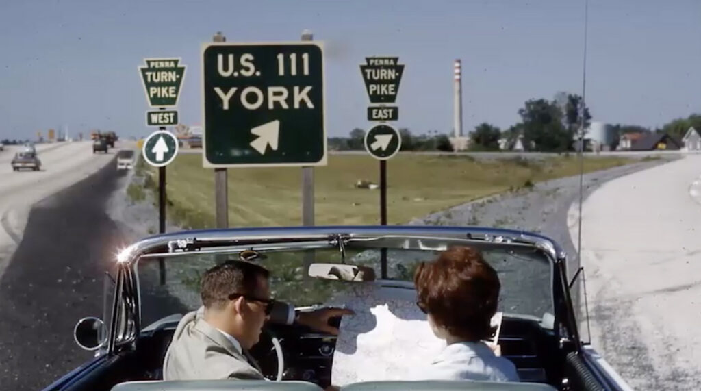
The Pennsylvania Turnpike, which opened in 1940, is often cited as the “World’s Greatest Highway” and served as the blueprint for the modern American interstate system. It was the first long-distance, limited-access highway in the United States, designed to allow traffic to move quickly and safely across Pennsylvania. To provide clear information to drivers at […]
04
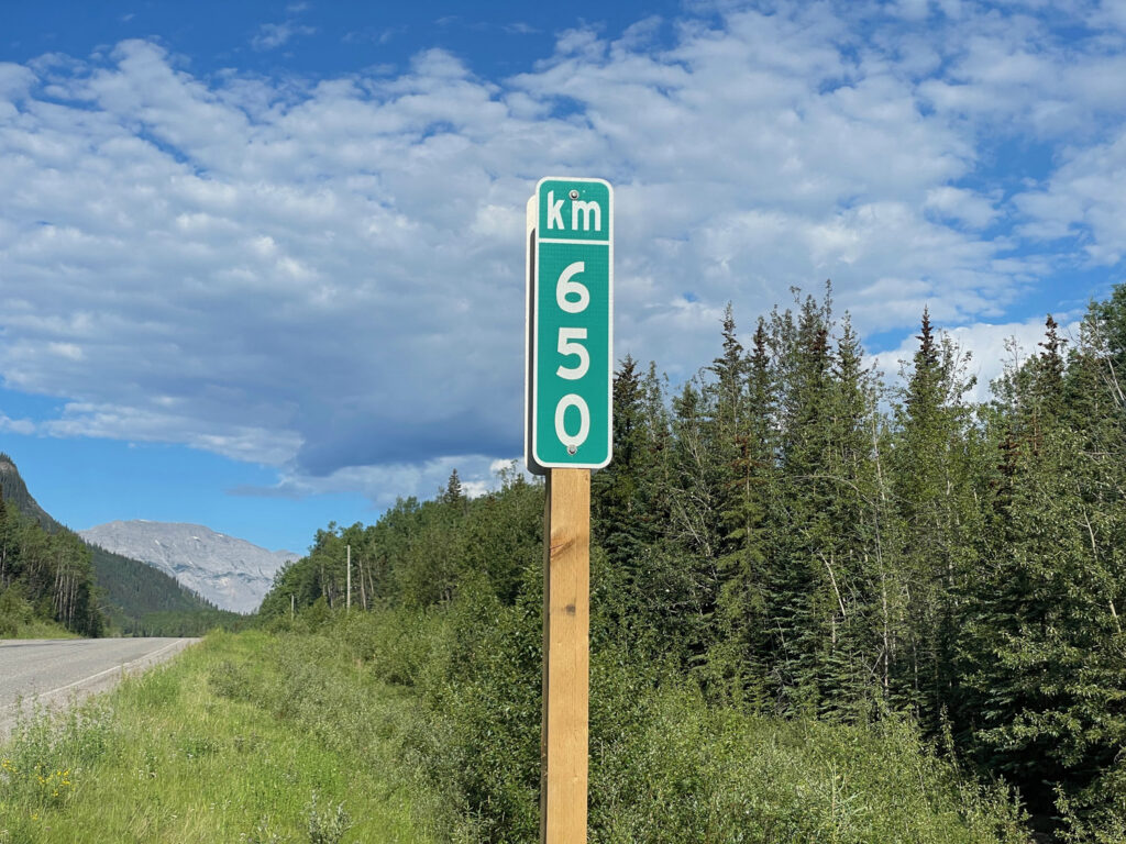
Mile Markers
Mile markers have existed for thousands of years, stretching back to the Roman Empire, which marked its extensive road system with stones indicating the number of miles from Rome. These markers take their name from the Latin milia passuum, one thousand paces, which in the present day roughly equates to 4,850 feet. A Marker of […]
05
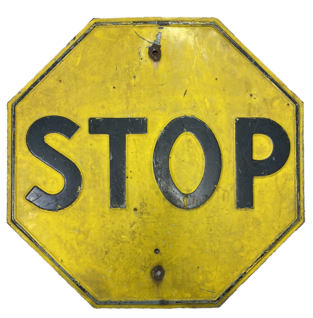
Why Were Stop Signs Yellow?
For over two decades, stop signs were yellow because the red pigments of the early 20th century faded too quickly to remain effective. Yellow was standardized as the most durable and visible option in the late 1920s, and remained the national norm until 1954, when technological advances by the 3M Corporation finally produced fade-resistant red […]

06
The 1945 Pentagon Road Network
The Highway to the War Department Before World War II, the U.S. military command was scattered across 17 different buildings in Washington, D.C. To solve this logistical nightmare and prepare for rapid growth, architects designed the Pentagon in Virginia. Because a road cut through the property, they abandoned a traditional square design for the famous […]

07
The Lincoln Highway
Conceived in 1913 as the first transcontinental highway for automobiles, the Lincoln Highway stretched from New York City to San Francisco. Like other named trails of the era, such as the Dixie Highway or the Jefferson Highway, it relied on colorful bands painted on telephone poles to guide motorists through a patchwork of local roads. […]
08
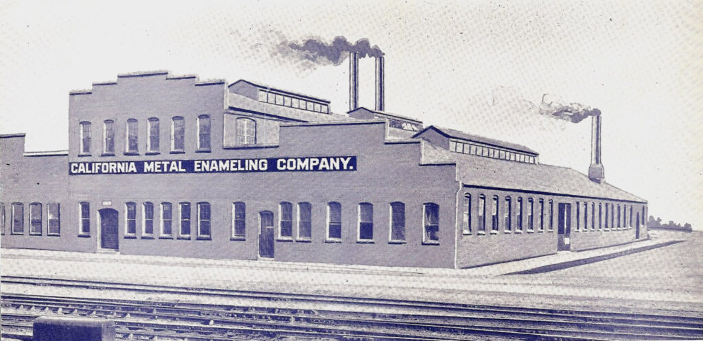
California Metal Enameling Company
The California Metal Enameling Company (CAMEO) was essential to expansion of the American highway system. By specializing in the production of porcelain enamel signs, they provided the durability and high-contrast finish required for the first generation of high-speed freeways. Through their ability to manufacture precise, scale-ready alphabets they enabled engineers to create effective highway signs […]

09
Signs at Night
You are driving an unfamiliar highway at night. Rain beads up on windshield; the drops of water, tiny diamonds in the reflection off the road. Your exit is coming. The man at the station said it was ten miles, but it feels like you have driven too far. Did you miss it? Before your map […]
10
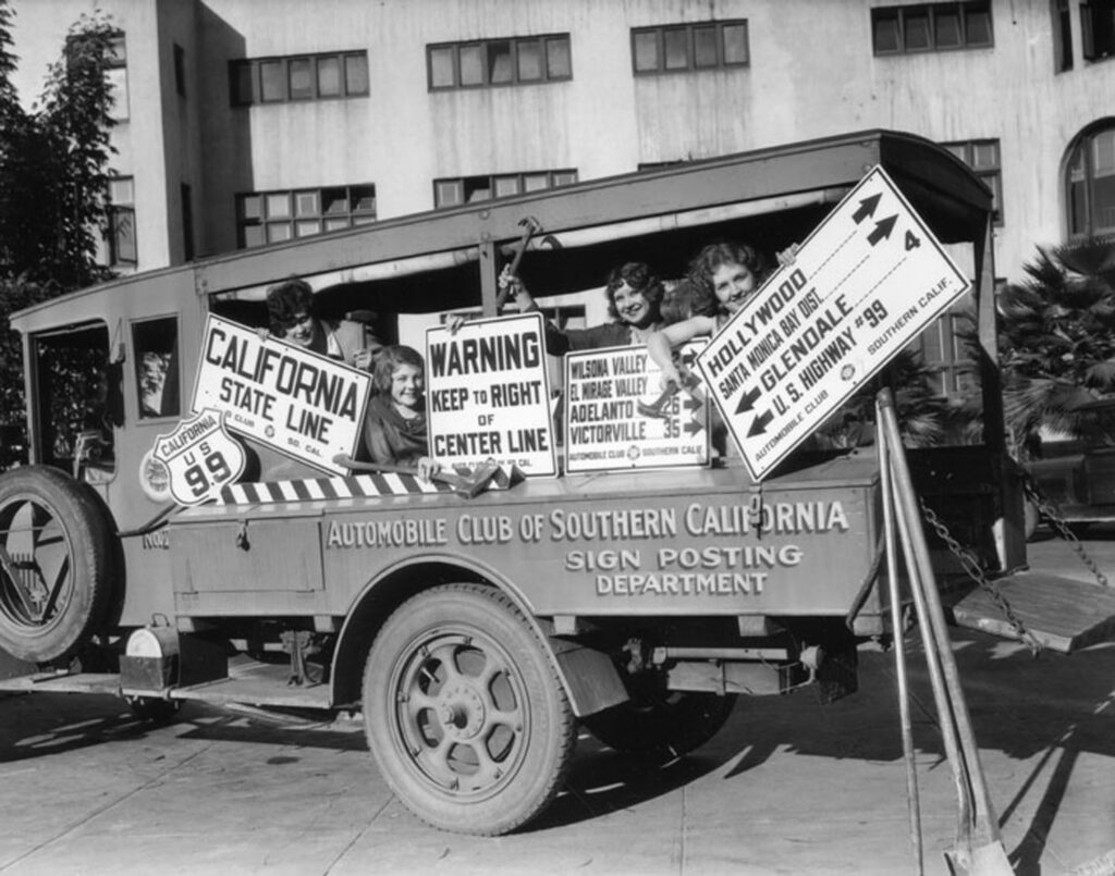
Early Auto Clubs
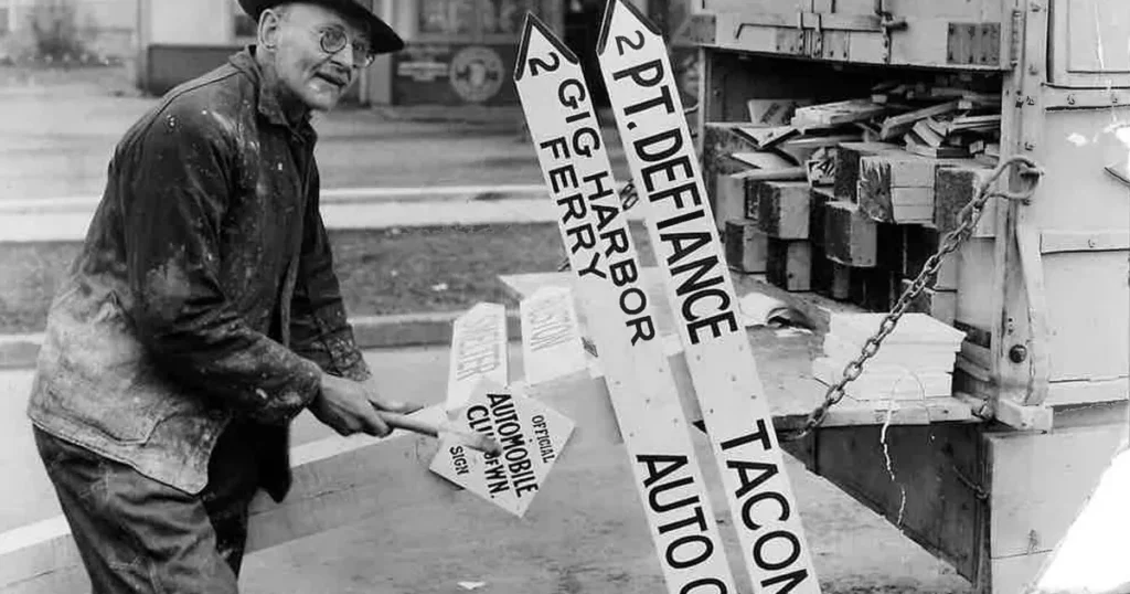
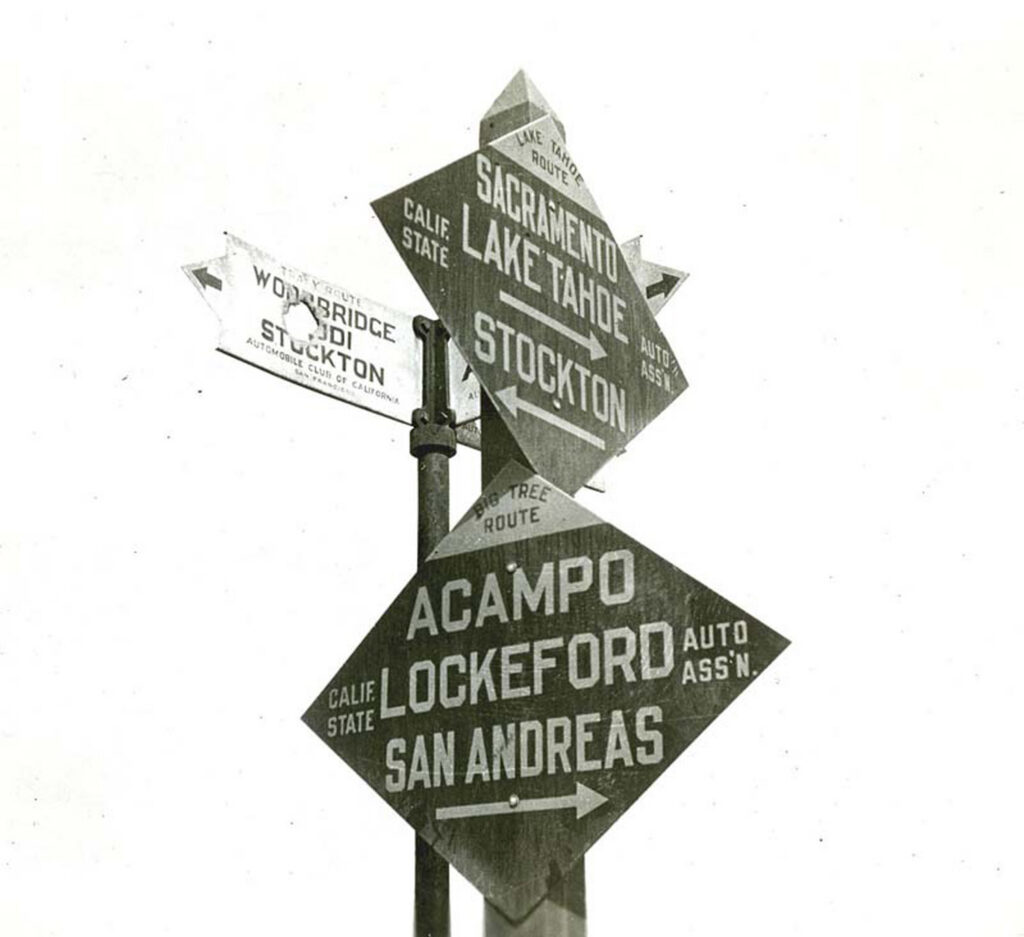
In the early 1900s, the American Automobile Association (AAA) acted as a private provider of public infrastructure, independently installing wooden road signs to help motorists navigate. This created a legal gray area because police were essentially enforcing rules based on signs placed by a private club rather than a government agency. To resolve this, local […]
11
The Signs of the Time
The U.S. road network has evolved over the past one hundred and thirty years, beginning with the invention of the automobile. The signs that guide us on the highways are the legacy of a long conversation between engineers, psychologists, politicians, and everyday drivers to create a system of information that helps people get where they […]