Conceived in 1913 as the first transcontinental highway for automobiles, the Lincoln Highway stretched from New York City to San Francisco. Like other named trails of the era, such as the Dixie Highway or the Jefferson Highway, it relied on colorful bands painted on telephone poles to guide motorists through a patchwork of local roads. These overlapping and often confusing private branding efforts directly led to the 1925 creation of the U.S. Numbered Highway System, which replaced names with the standardized shields we use today.
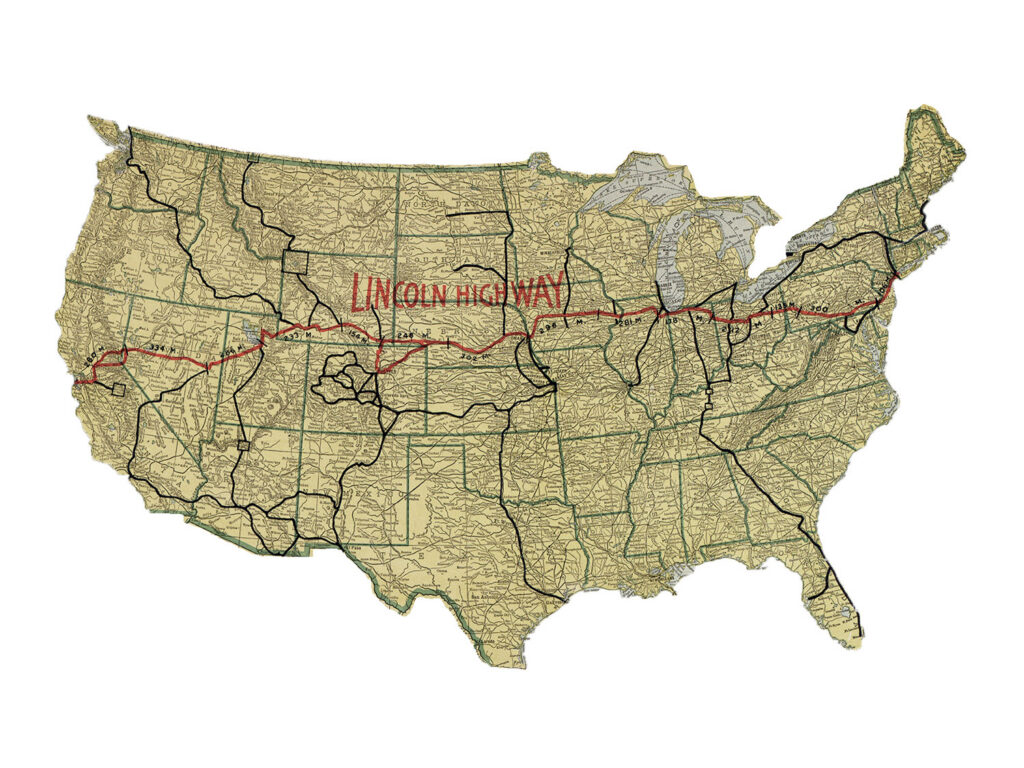
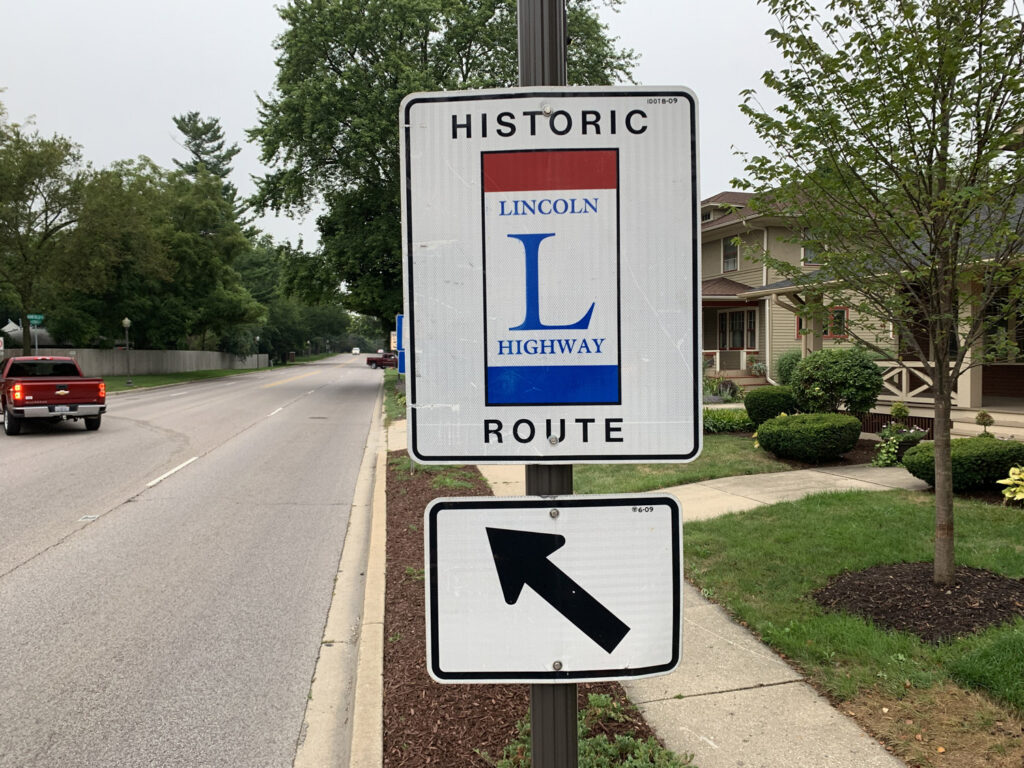

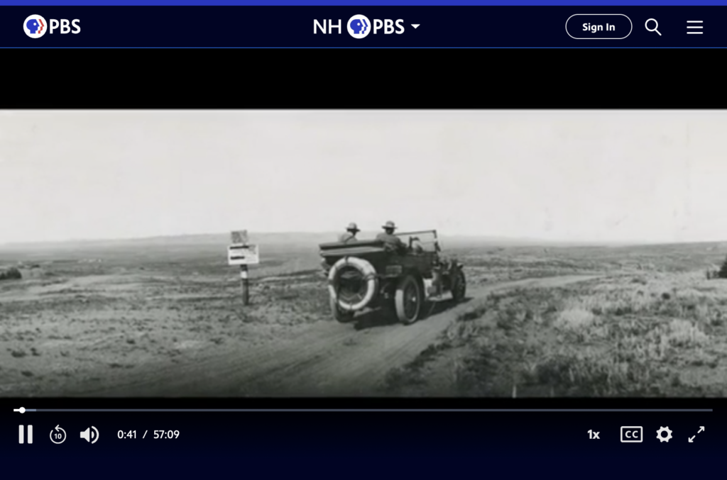
100 Years on the Lincoln Highway, PBS, 2014
Sources and Further Reading
- Federal Highway Administration — The Lincoln Highway FHWA’s official highway-history account of the 1913 founding, the Lincoln Highway Association, and its role in shaping the later Interstate System.
- Federal Highway Administration — Ask the Rambler: Was the Lincoln Highway the First Transcontinental Highway? A closer, myth-checking look at the highway’s founding, publicity campaign, and actual construction timeline.
- Lincoln Highway Association (official, reactivated 1992) — History The preservation association’s own account of its founding and mission, plus Resources and Links for state chapters and further research.
- Library of Congress — The Lincoln Highway Route: Its Ideals and Purposes (1913) A digitized period map and pamphlet from the highway’s founding year.
- National Park Service (NPGallery) — National Register of Historic Places Multiple Property Documentation Form The federal historic-preservation nomination record covering Lincoln Highway sites nationwide.
- Wikipedia — Lincoln Highway A well-sourced overview with route maps, timeline, and links to further citations.