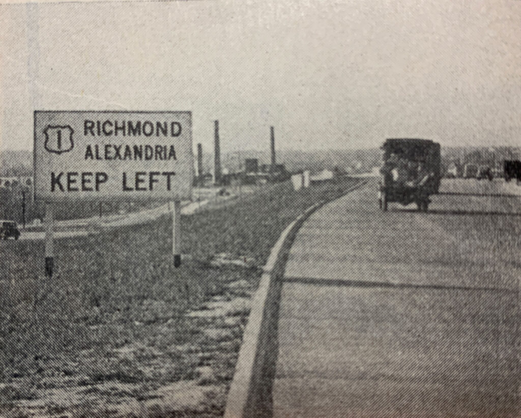
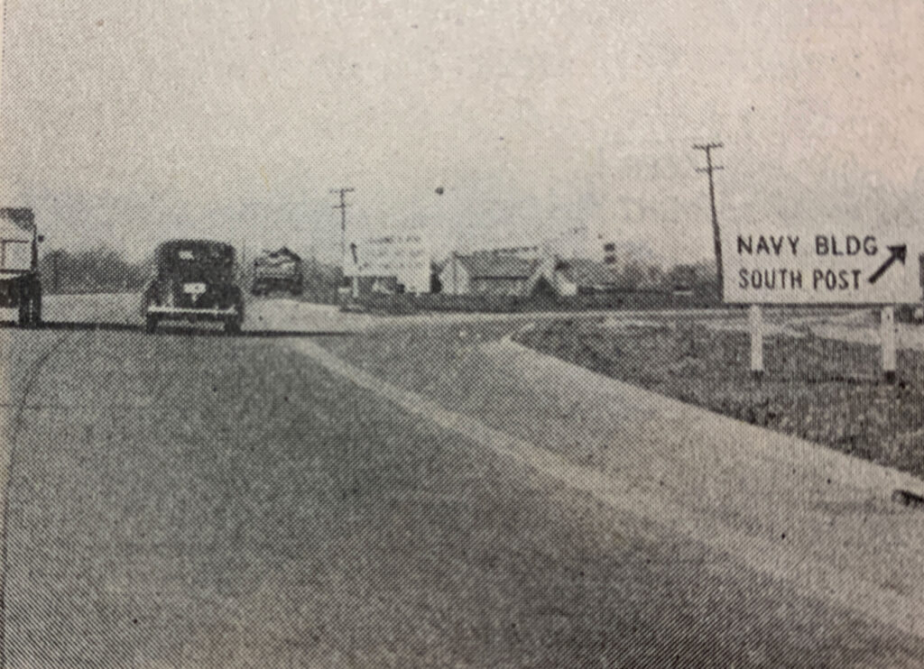
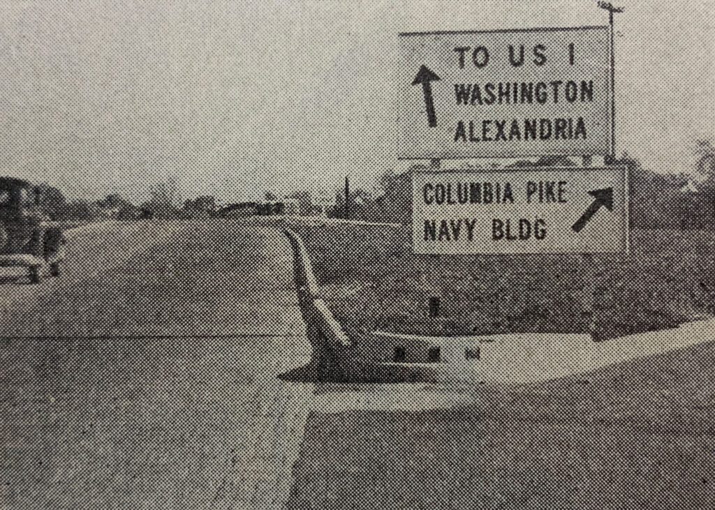
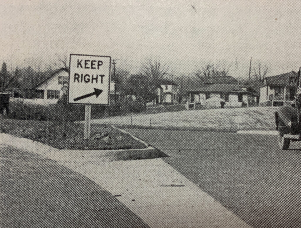
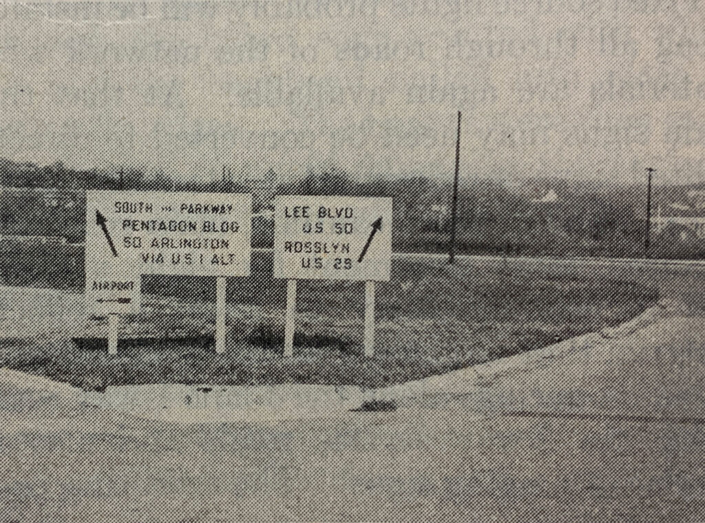
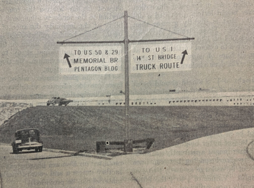
The Highway to the War Department
Before World War II, the U.S. military command was scattered across 17 different buildings in Washington, D.C. To solve this logistical nightmare and prepare for rapid growth, architects designed the Pentagon in Virginia. Because a road cut through the property, they abandoned a traditional square design for the famous five-sided shape. The massive building was meant to handle up to 30,000 people an hour, creating a brand-new challenge: how to move thousands of vehicles daily without causing gridlock.
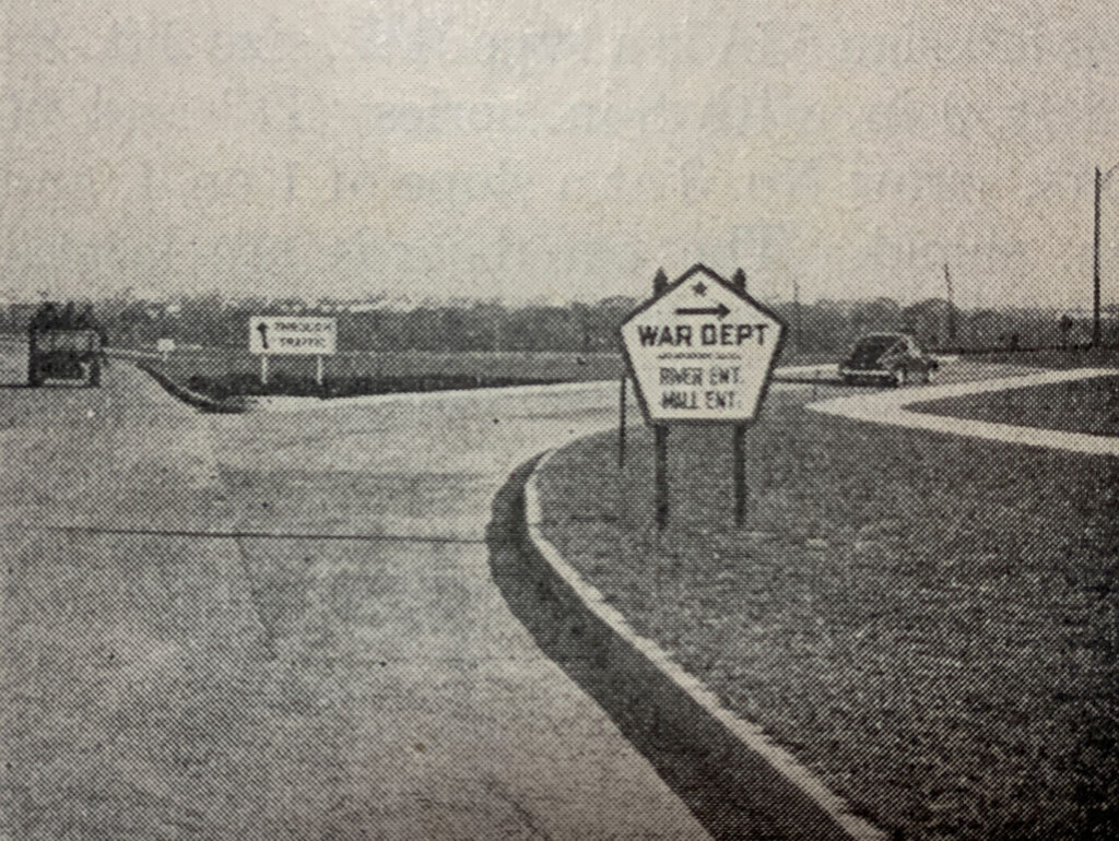
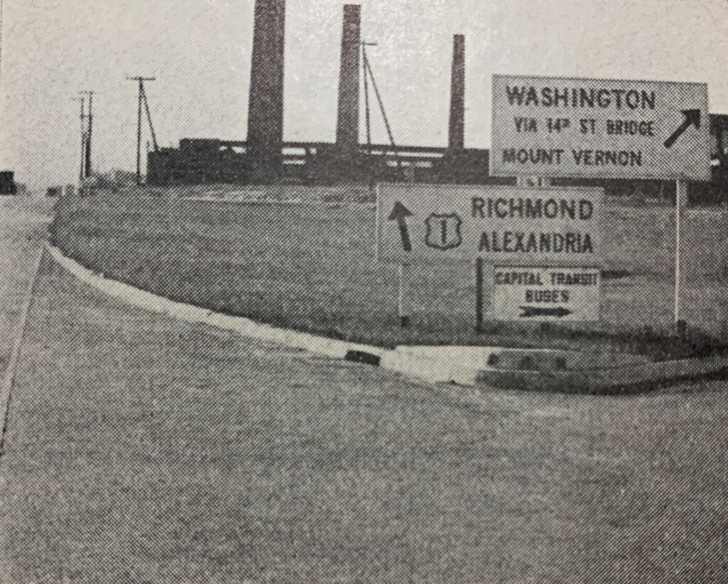
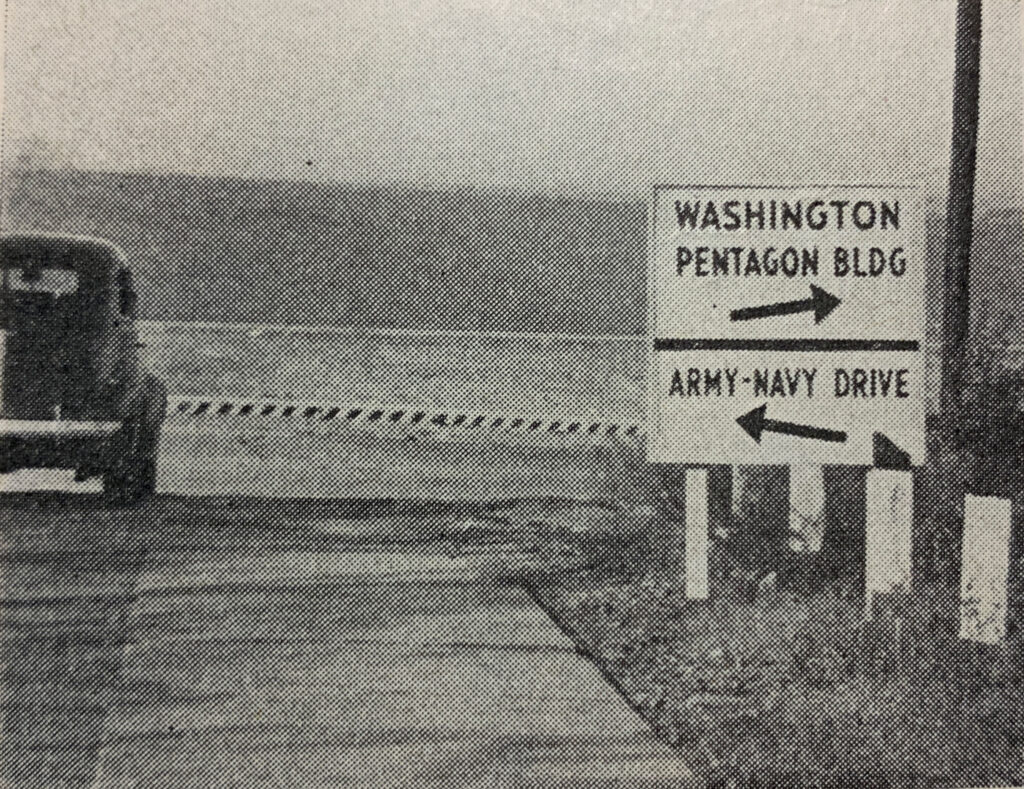
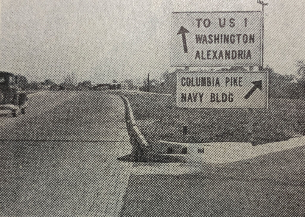
To handle the traffic, the federal government tasked the Federal Works Agency with creating a sprawling, 17-mile network of highways and freeways in the early 1940s. Designers built an elaborate system of over-and-under roadways and cloverleaf shapes that allowed drivers to drop off passengers and leave without ever stopping for a traffic light. The centerpiece of this network became known as the “Mixing Bowl”—a complex interchange connecting Interstate 395 and Route 27 that earned its name from the heavy traffic weaving between the roads before it was rebuilt in the 1970s.
This network worked so well that it changed American transportation forever. When engineers later created the U.S. Interstate Highway System, they adapted these very same cloverleaf and freeway designs to connect high-speed highways nationwide. In 1964, the federal government transferred the roads to the Commonwealth of Virginia, and today, they still operate as major state highways like Route 27 and Route 110.

Sources
The images at the wopt of the page were sourced from D.W. Loutszenheiser’s report “Design of Signs for the Pentagon Road Network” published in the Highway Research Board, Proceedings: Twenty-Third Annual Meeting, 1943